In this article
A gold exploration programme in Tanzania should move from a geological idea to evidence for the next spending decision. Nearby mines and visible gold can help frame the idea, but neither establishes the grade, continuity or processing behaviour of your own property. A staged programme makes those uncertainties explicit.
This guide explains how to organise regional research, field work and drilling into a usable project dataset. The aim is to rank targets and decide what to test next, rather than promise that an exploration licence or a high-grade specimen will lead to a producing mine.
Use regional geology as the starting model
The official Tanzania investor guide hosted by GST describes gold occurrences associated with greenstone belts and banded iron formations around Lake Victoria. That context helps identify relevant rock and structural questions, but the local setting must be mapped and sampled directly.
For prospects in other settings, including the Lupa area, begin with available geological maps and historical work rather than transferring a Lake Victoria model unchanged. GST’s mapping programme provides a reference for regional coverage and updates.
Confirm rights and compile the data
Verify licence boundaries, validity, conditions and access through the relevant authorities and advisers. The Mining Commission’s licence guidance distinguishes prospecting and mining rights. Confirm which activities your right permits before planning disturbance or drilling.
Compile historical collars, assays, maps and reports with their original coordinates and sources. Mark records that cannot be verified. A location copied into a modern spreadsheet does not become reliable simply because the format is tidy.
Design field work around the target
Map rock units, structures, alteration and exposure limitations. Use systematic sampling appropriate to the target and terrain, with located records and quality controls. Follow geochemical or geophysical anomalies with field checks that can distinguish mineralisation from another explanation.
For a hypothetical covered vein, a sensible early objective is to establish its orientation and whether mineralised observations recur along strike. Selected specimens alone answer a different question. The report should explain what is observed and what is inferred beneath cover.
Use drilling to test continuity and geometry
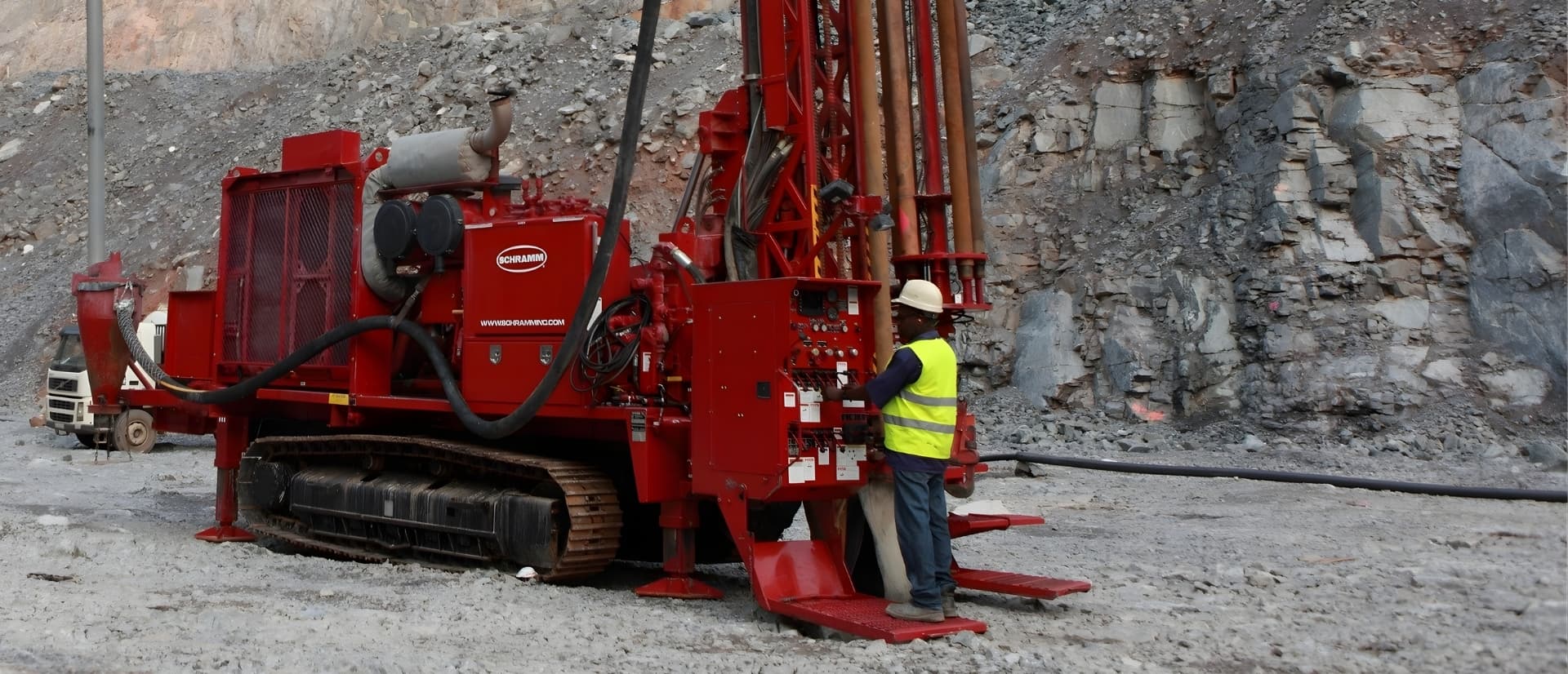
Choose core or RC from the sample and geological information required. Provide the interpretation behind each collar and orientation. Survey holes and keep recoveries, logs, samples, assays and QA/QC linked through identifiers so the resulting intersections can be interpreted correctly.
For an illustrative first stage, four 100 m holes total 400 m. That is a drilling quantity, not a resource definition. Review the geological result and data quality before expanding the campaign. Our drilling guide explains the contractor brief and complete campaign cost.
Include process evidence at the right stage
Gold content and recoverable gold are different. Preserve representative material for mineralogy, gravity, grinding or leach testing as the project develops. Keep different ore domains separate where combining them would conceal variation.
If the owner is considering a plant, connect feed availability and test response to a preliminary operating model. An equipment purchase should follow that evidence, using the test-work guide and startup-budget framework.
Questions and answers
Does a productive mine nearby prove that my licence contains similar gold?
It provides geological context, but your property still needs its own mapping, sampling and continuity evidence. Use the neighbouring deposit to frame a hypothesis, then test it under the actual licence and site conditions. Equipment selection and a production budget should follow that evidence rather than the neighbour's results.
When should metallurgical sampling enter an exploration programme?
Include it when representative material can help answer a process question that affects the next decision. Keep samples linked to the geological domains and record what they represent. Early process evidence can guide later work, but an isolated sample should not be treated as proof that the whole deposit suits one plant.
Advance the target through evidence
Build a local geological model, collect controlled data and use each stage to decide whether the next programme is justified. Confirm rights and access alongside the technical work, and investigate process response before plant selection. Begin with a data inventory and a short brief identifying the uncertainty the first field programme must resolve.
Sources and scope
Official survey and licensing resources were reviewed on 5 October 2026. The vein scenario and drilling quantity are illustrative. No national production rank, discovery rate or economic resource is asserted.